Complex workflows
Interfaces and processes that assume deep GIS expertise from day one.
An open-source, cloud-native GIS platform for collaborative mapping. Visualize data, explore spatial insights, and share maps instantly without the complexity of traditional GIS tools.
Thanks! We'll be in touch when Mapstage launches.
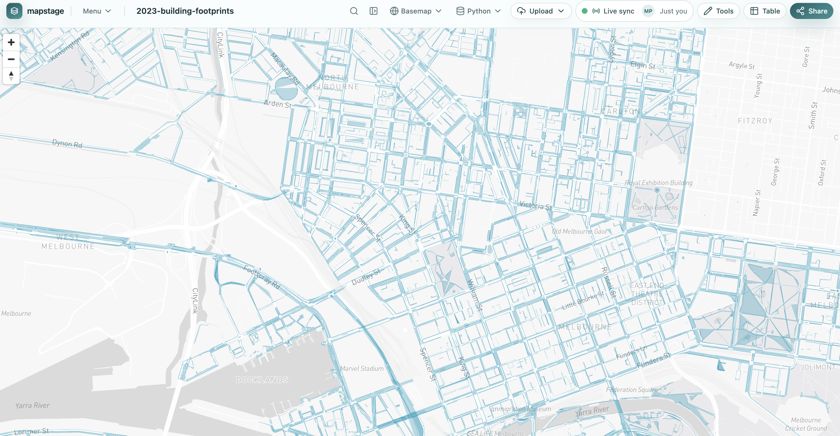
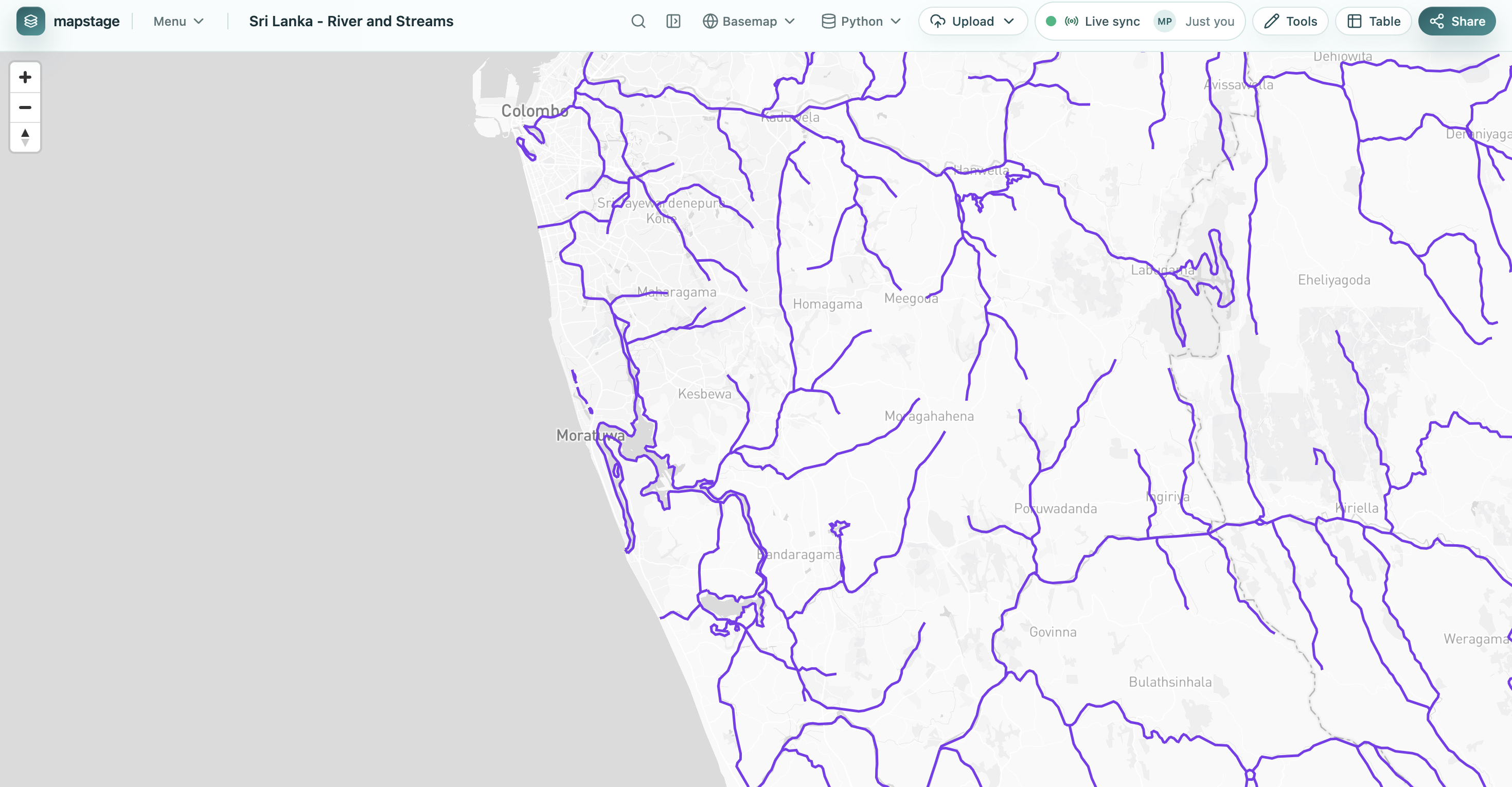
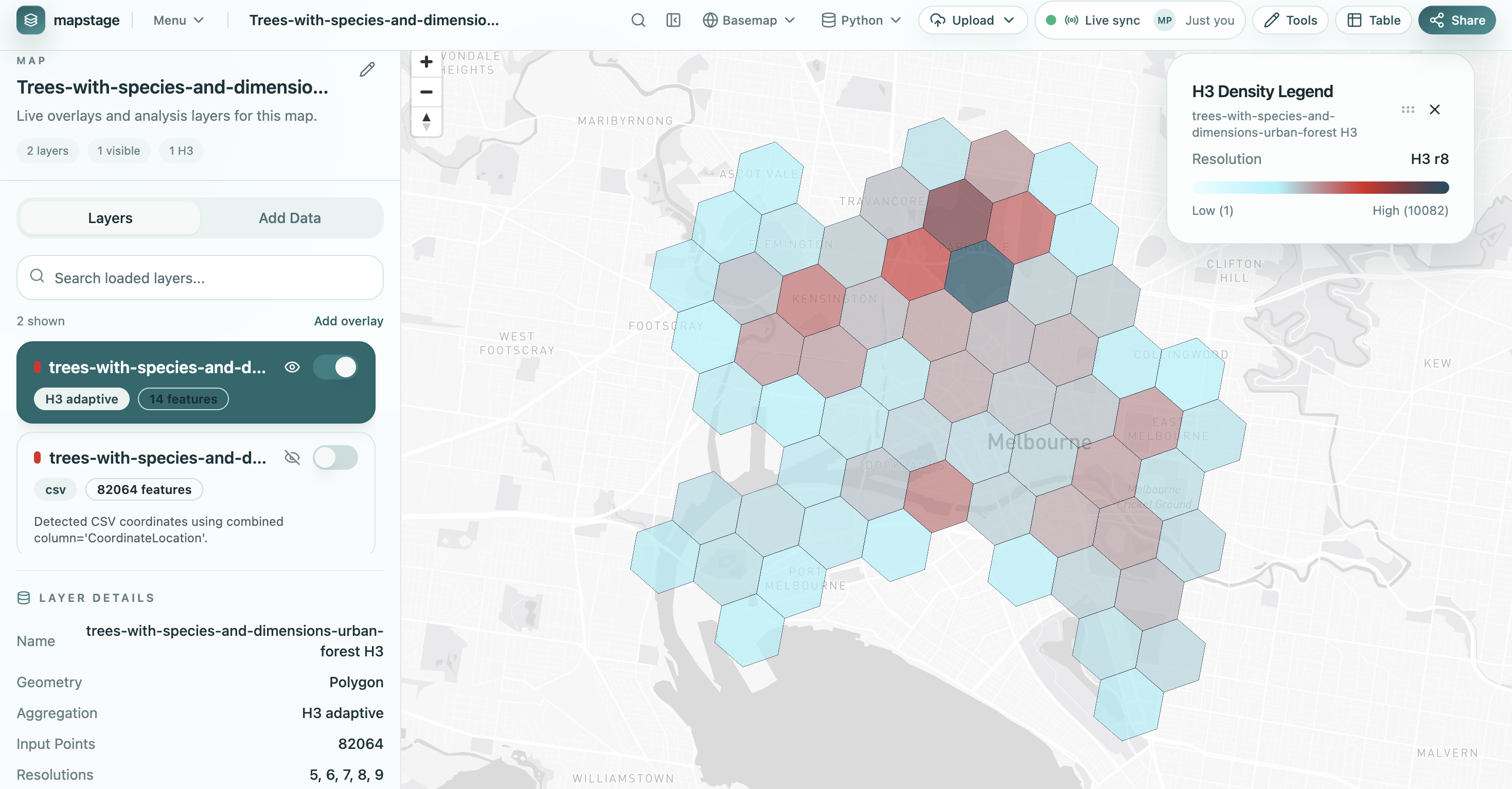
A preview of the Mapstage interface for exploring, styling, and sharing spatial data on the web.
Most GIS tools were built for specialists, not for the wider teams that need spatial data to make decisions.
Interfaces and processes that assume deep GIS expertise from day one.
Proprietary software can be difficult to justify across broader teams.
Sharing maps and working together often feels slower than it should.
Non-experts are left out, even when location data matters to their work.
As a result, many teams do not use spatial data at all, even when it matters.
Mapstage is built to feel like modern software, not legacy GIS.
Designed for the browser from day one, without desktop-first assumptions.
Built around shared workspaces, faster feedback, and team-based mapping.
Maps can be shared with links instead of exports, screenshots, or file handoffs.
Accessible wherever your team already works, without heavy setup.
No installs. No heavy tooling.
Upload datasets and turn them into interactive map layers without complex setup.
Work with your team on the same map in a shared environment built for the web.
Send maps with a link instead of relying on exports, attachments, or file transfers.
Designed to work with existing geospatial tools, formats, and workflows.
Mapstage is being built as an open-source platform because openness is essential for adoption, extensibility, and trust.
We are exploring how AI can simplify spatial workflows and make GIS easier to use for a much wider range of people.
AI is an augmentation layer designed to make GIS more accessible.
Coordinate, inspect, and communicate spatial information across teams.
Surface geographic patterns in changing landscapes and long-term datasets.
Collaborate on geospatial work without heavy platform overhead.
Share map-based information quickly between planners, analysts, and operators.
Give teams a simpler way to prototype and communicate spatial product ideas.
Not limited to experts.
Spatial tools should be usable by the broader teams who rely on geographic context.
Not siloed.
Maps should support shared work the same way modern software supports shared documents.
Not locked behind proprietary systems.
Open standards and open-source thinking create stronger ecosystems.
Built for the cloud era.
GIS should feel browser-native, link-friendly, and easier to adopt across teams.
Whether you are exploring your first dataset or building advanced spatial workflows, Mapstage is being designed to help teams move faster with location-based data.